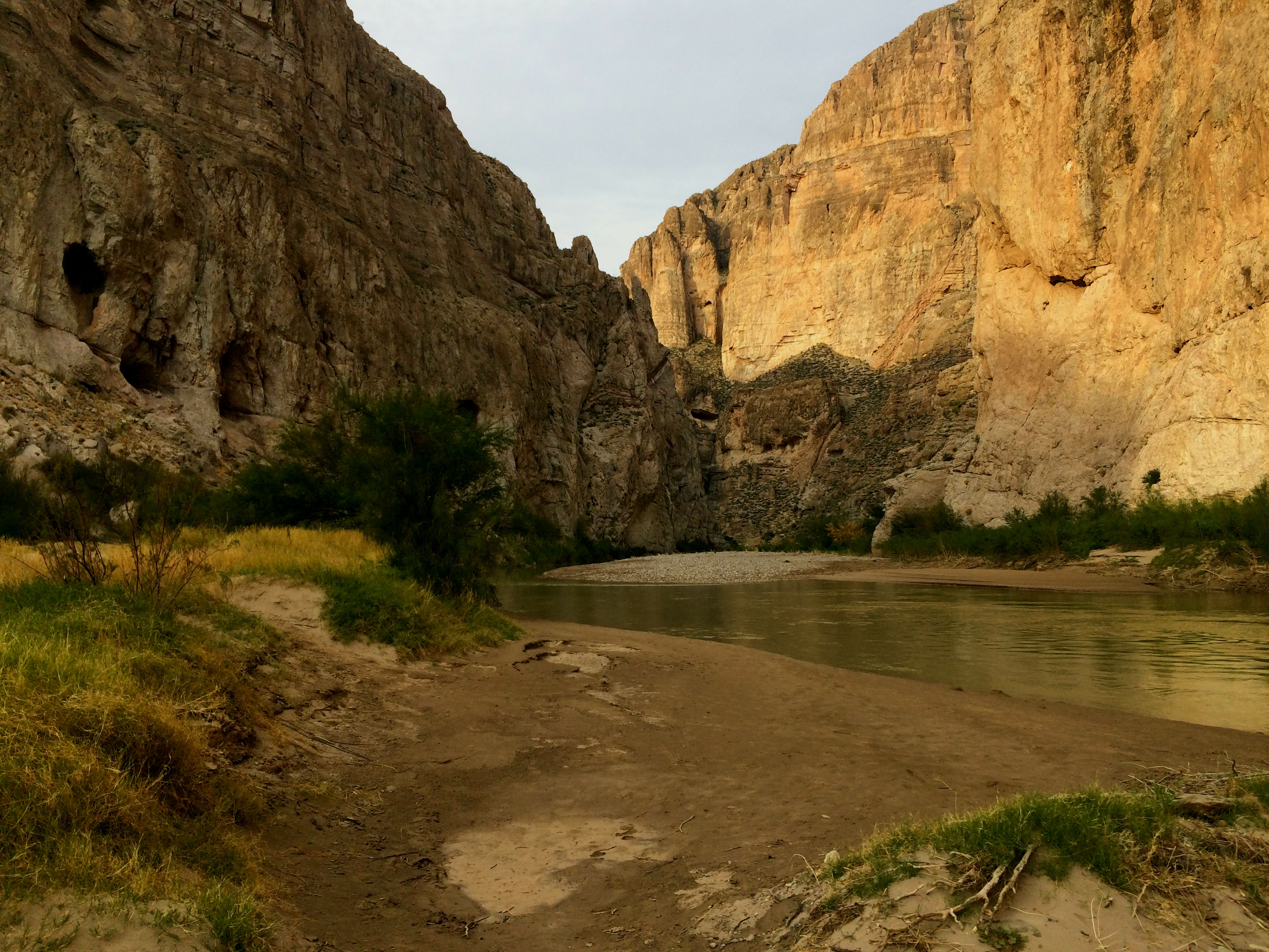


Deep inside Big Bend National Park, on the Wild and Scenic shores of the Rio Grande, it’s hard to tell the two countries apart: the United States and Mexico. From this angle the political border is not so apparent. There’s just hundreds of feet of limestone on both sides of the river. A keener eye than mine, then, seems to be required to see anything more than the apparent fact that limestone is limestone is limestone.
In a place like this, once the mind drifts out of the natural reverence many of us feel toward any significant natural exposure of stone, it’s difficult not to fixate on the silliness of abstract things such as political borders.
This idea can easily be given some legs to stand on in the physical world of stone and water.

One could wade out of this country and into Mexico, get the legs and crotch and maybe torso wet. Or pop over in a little red canoe, as one little red canoe on the banks of the Mexican side testified.
I chose to toss a stone. I stood on the banks on the US side, firmly in the gravity of Washington D.C., 1619 miles away. I zeroed in on my target, the Mexican rock, which rested somehow in the gravity of Mexico City, which sits at a distance of a meager 716 miles.
And in a feat that required almost no strength or cleverness, no military checkpoints or customs declarations, I lobbed the stone. And damned if it didn’t slip out of the US sphere of influence and seamlessly cross that dangerous border, clattering against the Mexican limestone.
Sarah Ann
January 4, 2018I love this.
Alex
January 18, 2021Thanks, Sarah!
Pingback: Downstream Effects of the Kilgore Project Part 2: Camas NWR - ScholarDay